
Αρχείο:World98.svg

Εικόνα σε υψηλότερη ανάλυση (Αρχείο SVG, ονομαστικό μέγεθος 8.000 × 3.859 εικονοστοιχεία, μέγεθος αρχείου: 9,3 MB)
|
|
Αυτό το αρχείο και η περιγραφή του προέρχονται από το Wikimedia Commons. Οι πληροφορίες από την σελίδα περιγραφής του εκεί εμφανίζονται παρακάτω. |

NOTE!
This file is HUGE. It cannot open in inkscape with 2GB of memory, or probably with 4GB either (however, gimp or a similar program should be able to generate a thumbnail without keeping the whole image in core). In other words, you will most likely be unable to open this on a 32-bit computer. It is only intended for use by other wiki map geeks to generate smaller SVG maps of countries and regions. Also note that, whenever possible it is better to use one of the continental maps that came from the same source, as they are more usable (won't eat all your system memory) and more precise (16 digits instead of 12):
- Image:africa98.svg
- Image:asia98.svg
- Image:europe98.svg
- Image:south_america98.svg
- Image:oceania98.svg
- Image:north_america98.svg
Σύνοψη
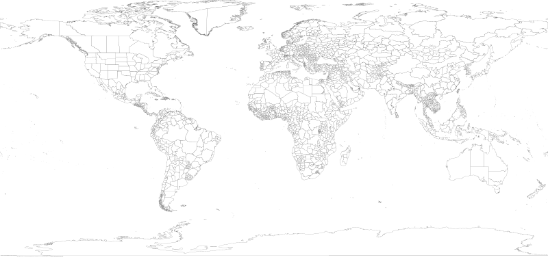
| Περιγραφή | 1998 World map with first level administrative units. |
| Ημερομηνία | |
| Πηγή | world98.shp from the US CDC [1] |
| Δημιουργός | Translated to SVG by User:Brianski |
| άλλες εκδόσεις |
|
| SVG ανάπτυξη |

TODO
- Find the right projection for and generate an antarctica98.svg
- Some submaps that don't follow continental boundaries might be handy, e.g. carribean98.svg, middle_east98.svg, mediterranean98.svg, se_asia_and_australia98.svg, etc.
- Fix blips in USA (Utah, PA, Michigan, etc.), west Antarctica. change background color so these blips are more obvious and thus easier to fix.
- Also group properly. IE: There shouldn't be >50 seperate USA groups for each state/territory, instead they should be nested together in a common USA group.
- Make copies of this map with country borders shown in darker lines.
- The territory of Nunavut was formed in 1999, giving Canada three territories in the north - not the 2 displayed here.
Generation Notes
perl xml2svg.pl -P12 --proj=cylindrical_equidistant:0,0.793353340291235 -x8000 world98
Αδειοδότηση
This image is a work of the Centers for Disease Control and Prevention, part of the United States Department of Health and Human Services, taken or made as part of an employee's official duties. As a work of the U.S. federal government, the image is in the public domain.
|
Ιστορικό αρχείου
Κλικάρετε σε μια ημερομηνία/ώρα για να δείτε το αρχείο όπως εμφανιζόταν εκείνη τη στιγμή.
| Ώρα/Ημερομ. | Μικρογραφία | Διαστάσεις | Χρήστης | Σχόλια | |
|---|---|---|---|---|---|
| τελευταία | 17:18, 28 Ιουνίου 2018 | | 8.000 × 3.859 (9,3 MB) | JoKalliauer | fixed 2735 W3C-erros (now valid); removed Category:SVG files with multiple W3C-errors |
| 05:45, 21 Οκτωβρίου 2007 |  | 8.000 × 3.859 (18,89 MB) | Brianski | fix greenland bug | |
| 04:35, 21 Οκτωβρίου 2007 |  | 8.000 × 3.859 (18,89 MB) | Brianski | use 8000 width (instead of 800) so that borders aren't so huge | |
| 04:16, 21 Οκτωβρίου 2007 |  | 512 × 247 (18,89 MB) | Brianski | Switch to equidistant cylindrical projection @37.5 degrees (aka first miller equidistant cylindrical projection - http://mathworld.wolfram.com/MillerEquidistantProjection.html) | |
| 03:25, 21 Οκτωβρίου 2007 |  | 512 × 499 (18,89 MB) | Brianski | {{Information |Description=1998 World map with first level administrative units. |Source=world98.shp from the en:CDC [http://www.cdc.gov/epiinfo/documents/shapes.doc] |Date=2007/10/20 |Author=Translated to SVG by User:Brianski }} |
Συνδέσεις αρχείου
Δεν υπάρχουν σελίδες που συνδέουν σε αυτό το αρχείο.
Καθολική χρήση αρχείου
Τα ακόλουθα άλλα wiki χρησιμοποιούν αυτό το αρχείο:
- Χρήση σε en.wikipedia.org
- Χρήση σε uk.wikipedia.org
- Χρήση σε zh.wikipedia.org