
Αρχείο:Detailed map of slovenia.jpg

Μέγεθος αυτής της προεπισκόπησης: 561 × 599 εικονοστοιχεία . Άλλες αναλύσεις: 225 × 240 εικονοστοιχεία | 449 × 480 εικονοστοιχεία | 702 × 750 εικονοστοιχεία.
Εικόνα σε υψηλότερη ανάλυση (702 × 750 εικονοστοιχεία, μέγεθος αρχείου: 98 KB, τύπος MIME: image/jpeg)
|
|
Αυτό το αρχείο και η περιγραφή του προέρχονται από το Wikimedia Commons. Οι πληροφορίες από την σελίδα περιγραφής του εκεί εμφανίζονται παρακάτω. |

|
This map has been uploaded by Electionworld from en.wikipedia.org to enable the |
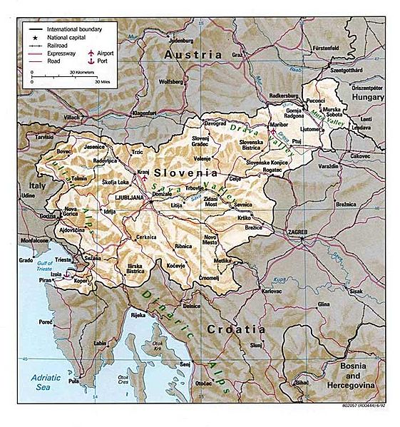
Detailed Map of Slovenia. Courtesy of The General Libraries, The University of Texas at Austin.
![[1]](http://www.lib.utexas.edu/maps/europe/slovenia.jpg)
| This image is a work of a Central Intelligence Agency employee, taken or made as part of that person's official duties. As a Work of the United States Government, this image or media is in the public domain in the United States.
|

|
Ιστορικό αρχείου
Κλικάρετε σε μια ημερομηνία/ώρα για να δείτε το αρχείο όπως εμφανιζόταν εκείνη τη στιγμή.
| Ώρα/Ημερομ. | Μικρογραφία | Διαστάσεις | Χρήστης | Σχόλια | |
|---|---|---|---|---|---|
| τελευταία | 21:11, 27 Δεκεμβρίου 2006 | | 702 × 750 (98 KB) | Electionworld | {{ew|en|Seba}} Detailed Map of Slovenia. Courtesy of The General Libraries, The University of Texas at Austin. *Source: Perry-Castañeda Library Map Collection [http://www.lib.utexas.edu/maps/europe/slovenia.jpg][http://www.lib.utexas.edu/maps/europ |
Συνδέσεις αρχείου
Δεν υπάρχουν σελίδες που συνδέουν σε αυτό το αρχείο.
Καθολική χρήση αρχείου
Τα ακόλουθα άλλα wiki χρησιμοποιούν αυτό το αρχείο:
- Χρήση σε da.wikipedia.org
- Χρήση σε en.wikipedia.org
- Χρήση σε fr.wikipedia.org
- Χρήση σε rm.wikipedia.org