
Αρχείο:Rotherhithe OS OpenData map.png
Μέγεθος αυτής της προεπισκόπησης: 548 × 600 εικονοστοιχεία . Άλλες αναλύσεις: 219 × 240 εικονοστοιχεία | 438 × 480 εικονοστοιχεία | 930 × 1.018 εικονοστοιχεία.
Εικόνα σε υψηλότερη ανάλυση (930 × 1.018 εικονοστοιχεία, μέγεθος αρχείου: 298 KB, τύπος MIME: image/png)
|
|
Αυτό το αρχείο και η περιγραφή του προέρχονται από το Wikimedia Commons. Οι πληροφορίες από την σελίδα περιγραφής του εκεί εμφανίζονται παρακάτω. |
Σύνοψη
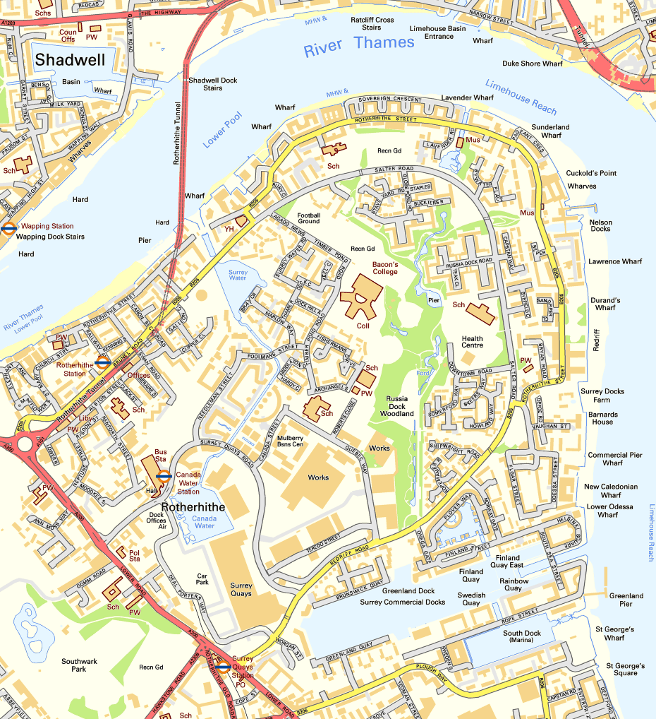
| Περιγραφή | Map of Rotherhithe, London |
| Ημερομηνία | |
| Πηγή | Ordnance Survey OpenData |
| Δημιουργός | Ordnance Survey with modifications by Prioryman |
Αδειοδότηση
This file is licensed by the Ordnance Survey of the United Kingdom under their OS OpenData License
In short: you are free to distribute and modify the file as long as you attribute (including year), the Ordnance Survey. Απόδοση: Contains Ordnance Survey data © Crown copyright and database right (year) Note: Derivative works can be licensed under any Creative Commons Attribution 3.0 Licence. |
.svg)
|
This file is licensed under the United Kingdom Open Government Licence v3.0. |
See also: Meta for information on usage on Wikimedia wikis.
|
Ιστορικό αρχείου
Κλικάρετε σε μια ημερομηνία/ώρα για να δείτε το αρχείο όπως εμφανιζόταν εκείνη τη στιγμή.
| Ώρα/Ημερομ. | Μικρογραφία | Διαστάσεις | Χρήστης | Σχόλια | |
|---|---|---|---|---|---|
| τελευταία | 22:41, 10 Ιανουαρίου 2012 | | 930 × 1.018 (298 KB) | Prioryman | {{Information |Description=Map of Rotherhithe, London |Source=Ordnance Survey OpenData |Date=10 January 2011 |Author=Ordnance Survey with modifications by Prioryman |Permission={{OS OpenData}} |other_versions= }} [[Category:Rotherhithe |
Συνδέσεις αρχείου
Τα παρακάτω λήμματα συνδέουν σε αυτό το αρχείο:
Καθολική χρήση αρχείου
Τα ακόλουθα άλλα wiki χρησιμοποιούν αυτό το αρχείο:
- Χρήση σε en.wikipedia.org
- Χρήση σε es.wikipedia.org
- Χρήση σε fr.wikipedia.org
- Χρήση σε nl.wikipedia.org