
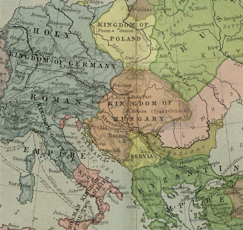
Αρχείο:Europe mediterranean 1190 cropped.jpg
Εικόνα σε υψηλότερη ανάλυση (796 × 753 εικονοστοιχεία, μέγεθος αρχείου: 257 KB, τύπος MIME: image/jpeg)
|
|
Αυτό το αρχείο και η περιγραφή του προέρχονται από το Wikimedia Commons. Οι πληροφορίες από την σελίδα περιγραφής του εκεί εμφανίζονται παρακάτω. |
Σύνοψη
| Περιγραφή |
English: Map of Europe, ca. 1190 A.D. |
| Ημερομηνία | μεταξύ 1923 και 1926 |
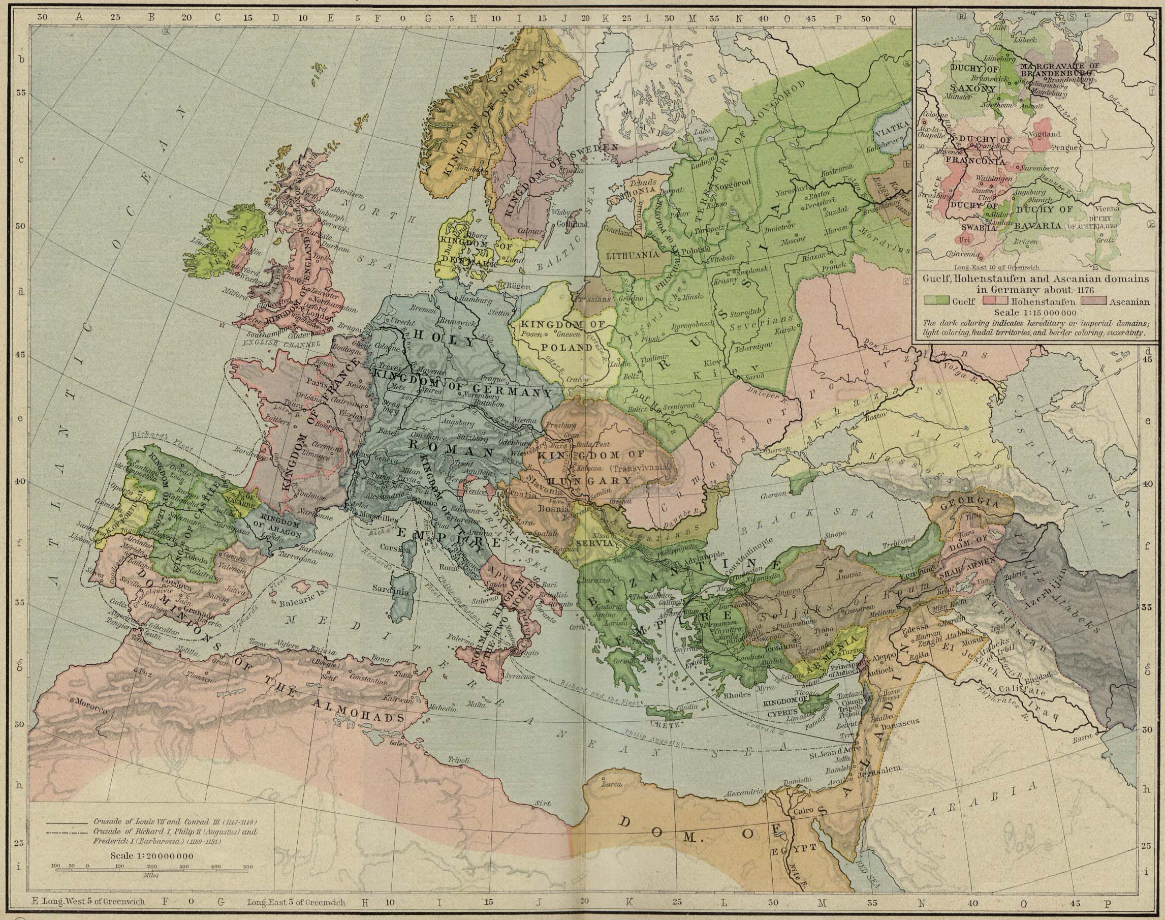
| Πηγή | Cropped from a map from the Historical Atlas by William Shepherd (1923–26), which is in the public domain in U.S. (http://www.lib.utexas.edu/maps/historical/shepherd/europe_mediterranean_1190.jpg) |
| Δημιουργός | William Shepherd |
| άλλες εκδόσεις | Europe mediterranean 1190.jpg |
Αδειοδότηση
|
Αυτό το έργο είναι κοινό κτήμα στη χώρα προέλευσής του και άλλες χώρες και περιοχές όπου η διάρκεια πνευματικών δικαιωμάτων είναι όσο η ζωή του δημιουργού και μέχρι 70 χρόνια μετά ή λιγότερο.
| |
| Αυτό το αρχείο έχει χαρακτηριστεί ως απαλλαγμένο από γνωστούς περιορισμούς βάσει της νομοθεσίας περί πνευματικής ιδιοκτησίας, περιλαμβανομένων όλων των συναφών και συγγενικών δικαιωμάτων. | |
Καταγραφές ανεβασμάτων πρωτότυπου αρχείου
- 2009-05-27 11:46 Hobartimus 796×753× (263194 bytes) {{Information |Description = Map of europe, cropped ca. 1190 A.D. |Source = Shrinked version of a map from the ''Historical Atlas'' by William Shepherd (1923-26), which is in the public domain in U.S. ( http://www.lib.utexas.edu/maps/historic
Ιστορικό αρχείου
Κλικάρετε σε μια ημερομηνία/ώρα για να δείτε το αρχείο όπως εμφανιζόταν εκείνη τη στιγμή.
| Ώρα/Ημερομ. | Μικρογραφία | Διαστάσεις | Χρήστης | Σχόλια | |
|---|---|---|---|---|---|
| τελευταία | 14:48, 14 Αυγούστου 2011 | | 796 × 753 (257 KB) | File Upload Bot (Magnus Manske) | {{BotMoveToCommons|en.wikipedia|year={{subst:CURRENTYEAR}}|month={{subst:CURRENTMONTHNAME}}|day={{subst:CURRENTDAY}}}} {{Information |Description={{en|Map of europe, cropped ca. 1190 A.D.}} |Source=Transferred from [http://en.wikipedia.org en.wikipedia]; |
Συνδέσεις αρχείου
Τα παρακάτω λήμματα συνδέουν σε αυτό το αρχείο:
Καθολική χρήση αρχείου
Τα ακόλουθα άλλα wiki χρησιμοποιούν αυτό το αρχείο:
- Χρήση σε ar.wikipedia.org
- Χρήση σε ary.wikipedia.org
- Χρήση σε azb.wikipedia.org
- Χρήση σε bn.wikipedia.org
- Χρήση σε br.wikipedia.org
- Χρήση σε de.wikipedia.org
- Χρήση σε en.wikipedia.org
- Χρήση σε es.wikipedia.org
- Χρήση σε et.wikipedia.org
- Χρήση σε fa.wikipedia.org
- Χρήση σε fr.wikipedia.org
- Χρήση σε he.wikipedia.org
- Χρήση σε hu.wikipedia.org
- Χρήση σε id.wikipedia.org
- Χρήση σε id.wikibooks.org
- Χρήση σε io.wikipedia.org
- Χρήση σε it.wikipedia.org
- Χρήση σε ja.wikipedia.org
Δείτε περισσότερη καθολική χρήση αυτού του αρχείου.