
Αρχείο:Santorini1848.jpg

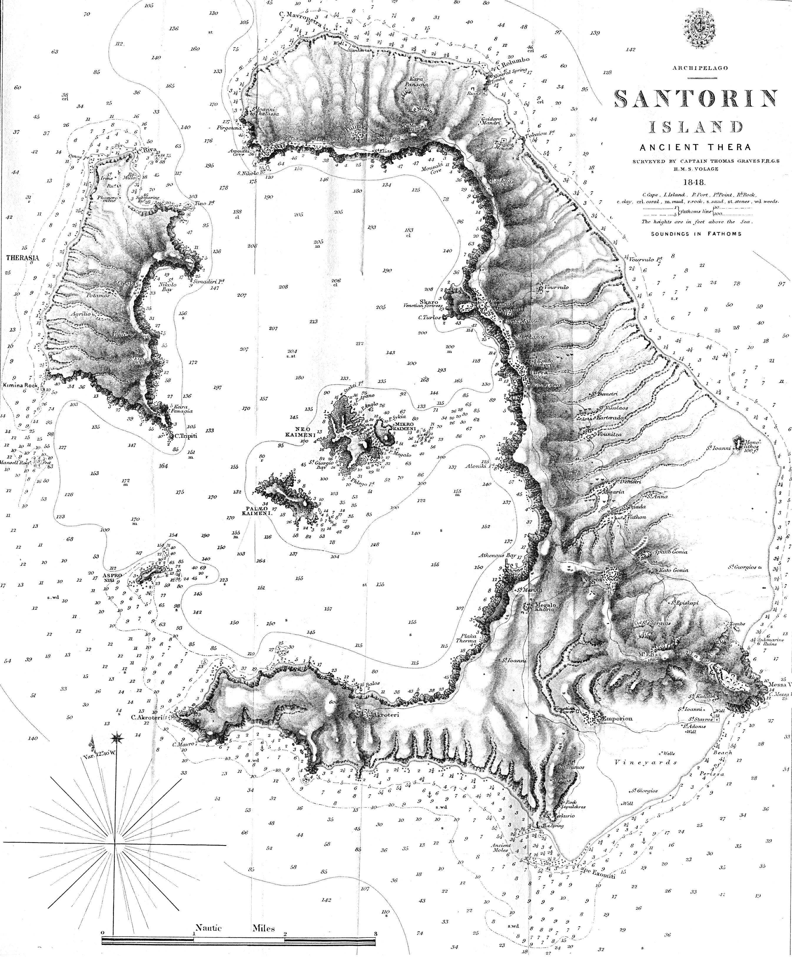
Εικόνα σε υψηλότερη ανάλυση (2.691 × 3.249 εικονοστοιχεία, μέγεθος αρχείου: 1,56 MB, τύπος MIME: image/jpeg)
|
|
Αυτό το αρχείο και η περιγραφή του προέρχονται από το Wikimedia Commons. Οι πληροφορίες από την σελίδα περιγραφής του εκεί εμφανίζονται παρακάτω. |
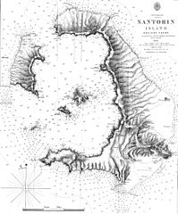
| Περιγραφή | Map of the greek island Santorini from 1848 - "Santorin Island Ancient Thera Surveyed by Captain Thomas Graves F.R.G.S. H.M.S. Volage 1848" from The Journal of the Royal Geographical Society, Volume 20, 1850 to accompany "Some Account of the Volcanic Group of Santorin or Thera, once called Calliste, or the Most Beautiful. By Lieut. E. M. Leycester, R.N.". Full text of the JRGS article can be found on the Internet Artchive. | ||||
| Ημερομηνία | |||||
| Πηγή | http://www.lib.utexas.edu/maps/historical/santorin_island_1848.jpg | ||||
| Δημιουργός | Thomas Graves | ||||
| Άδεια (Επαναχρησιμοποίηση αυτού του αρχείου) |
|
||||
Ιστορικό αρχείου
Κλικάρετε σε μια ημερομηνία/ώρα για να δείτε το αρχείο όπως εμφανιζόταν εκείνη τη στιγμή.
| Ώρα/Ημερομ. | Μικρογραφία | Διαστάσεις | Χρήστης | Σχόλια | |
|---|---|---|---|---|---|
| τελευταία | 16:36, 24 Μαΐου 2007 | | 2.691 × 3.249 (1,56 MB) | H-stt | {{Information |Description= Map of the greek island Santorini from 1848 - "Santorin Island Ancient Thera Surveyed by Captain Thomas Graves F.R.G.S. H.M.S. Volage 1848" from The Journal of the Royal Geographical Society, Volume 20, 1850 to accompany "Some |
Συνδέσεις αρχείου
Τα παρακάτω λήμματα συνδέουν σε αυτό το αρχείο:
Καθολική χρήση αρχείου
Τα ακόλουθα άλλα wiki χρησιμοποιούν αυτό το αρχείο:
- Χρήση σε de.wikipedia.org
- Χρήση σε en.wikipedia.org
- Χρήση σε fr.wikipedia.org
- Χρήση σε ro.wikipedia.org
- Χρήση σε sl.wikipedia.org